Printed/old maps
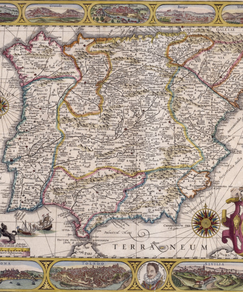
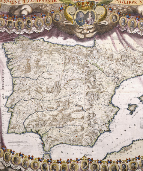
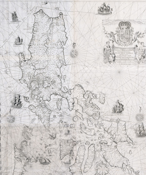
The documentary base of the Biblioteca Nacional Cartography Service are the holdings which came from the Biblioteca Real and the cartography collections of the former Geographical Office of the First Secretariat of State and the Universal Office. Godoy commissioned Tomás López and his son Juan López to organise them in 1795.
This collection was incorporated into the Library in 1913 by Royal Decree on 7 June. Its core consisted of the collection called the Mendoza Collection, the maps produced by the López Family and the collection of hand-drawn maps.
1 The Mendoza Collection
Within the scientific sphere in which Spanish sailors worked in the 18th century, one of the outstanding figures was Frigate Captain José Mendoza Ríos. The latter carried out important scientific projects, such as the one which, by order of Prime Minister Manuel Godoy, brought together a collection of maps for the Geographical Office, an entity reporting to the First Secretariat of State. This collection is today in the safekeeping of the Biblioteca Nacional Cartography Service.
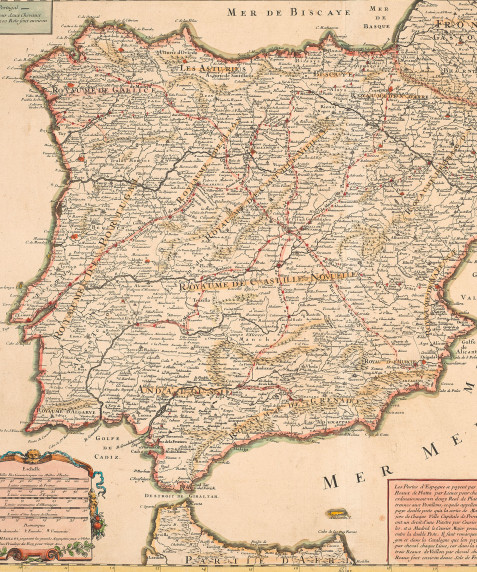
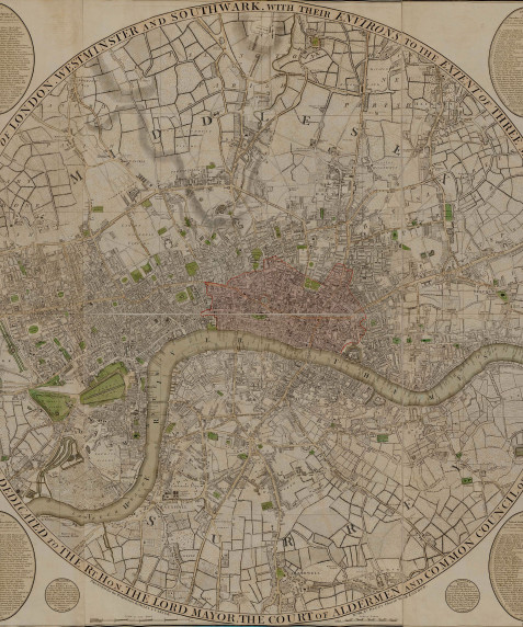
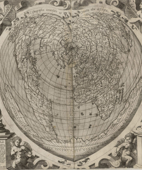
The Collection brought together by Mendoza, comprises 2,405 maps, divided into two series: A collection of 1,697 maps printed largely in Great Britain in the second half of the 18th century; and a second series of 708 maps made in other countries such as France, Germany, Spain, Russia, etc. The maps are carefully illustrated, the majority of them are bound in fabric and they are conserved in perfect condition. They are important and valuable maps, made at a time which witnessed the eruption of scientific geography throughout Europe.
2. Maps belonging to the López family
Tomás López de Vargas Machuca is the most representative figure in Spanish 18th century cartography. He studied under Bourguignon D’Anville, the French master cartographer, from whom he learned the technique of tracing maps, known as “office geography”, not drawing up the map personally, but by comparing different maps of the same territory. During his life he produced over two hundred maps, covering all the national territory and some parts of America.
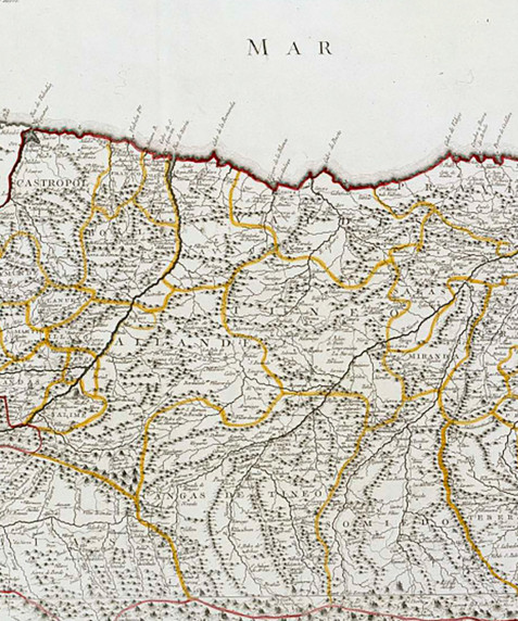
The importance of López's maps, despite the lack of accuracy of this procedure, resides in him being the first Spanish cartographer to systematically etch and publish maps of this country, freeing it of its dependence on the foreign maps that were in use hitherto. His maps showed the administrative divisions in keeping with the diagram drafted by King Philip V in the New Layout Decrees and which was in force throughout the 18th and the early 19th century, until the new division into provinces and administrative areas was introduced in 1833. This division has lasted through to today.
This almost complete collection contains the maps drawn up, etched and published by Tomás López and his sons Juan and Tomás Mauricio. They are maps and plans, on loose sheets or forming atlases, mostly of Spain and its provinces, military possessions, and the American colonies. It also includes maps of all the continents and major European countries.


![Aragón de Ioan Baptista Lavaña [Material cartográfico] : Dedicada a los illustrissimos Señores Diputados del Reyno de Aragón…](/sites/default/files/styles/bloque_obras_imagenes_xl/public/repositorio-imagenes/aragon-baptista-mr45-2_0.jpg?h=d500a37e&itok=k5-Hpvyu)
